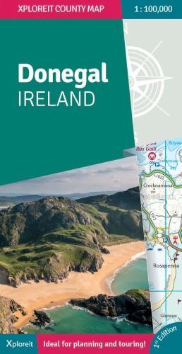
Map of Ireland Handy: Ideal for route planning (Collins Road Atlas
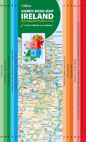
Ideal for Route Planning An easy-to-use route-planning map covering the whole of Ireland. It has the convenience of an atlas with all the benefits of a fold out map, and features clear, full-colour road maps at 10 miles to 1 inch, plus city centre plans of Belfast and Dublin. An easy-to-use route-planning map covering the whole of Ireland. It has the convenience of an atlas with all the benefits of a fold out map, and features clear, full-colour road maps at 10 miles to 1 inch, plus city centre plans of Belfast and Dublin. The map is laminated on both sides making it durable and good value. Features of this map include:
Explore new places with this comprehensive map of Ireland from Collins.
Explore new places with this comprehensive map of Ireland from Collins.
Product Information
Product Information
Shipping & Returns
Shipping & Returns
Description
Ideal for Route Planning An easy-to-use route-planning map covering the whole of Ireland. It has the convenience of an atlas with all the benefits of a fold out map, and features clear, full-colour road maps at 10 miles to 1 inch, plus city centre plans of Belfast and Dublin. An easy-to-use route-planning map covering the whole of Ireland. It has the convenience of an atlas with all the benefits of a fold out map, and features clear, full-colour road maps at 10 miles to 1 inch, plus city centre plans of Belfast and Dublin. The map is laminated on both sides making it durable and good value. Features of this map include:
Explore new places with this comprehensive map of Ireland from Collins.
Explore new places with this comprehensive map of Ireland from Collins.